I’ve been busy lately visiting Grade 5 students who are studying the weather unit in class.
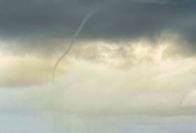
It doesn’t take long before we get on to the topic of hurricanes. One day last week, a young boy asked if hurricanes from the Pacific can cross over to the Atlantic?
Yes and no.
A hurricane-strength storm is unable to cross over that much land and still be a hurricane. However, tropical storms and remnants of hurricanes are able to cross over. When this does happen, the new storm is referred to as a Pacific-Atlantic crossover hurricane. That can work the other way, too and it’s called an Atlantic-Pacific crossover hurricane. When the storm enters the new basin or body of water, it is given a new name.
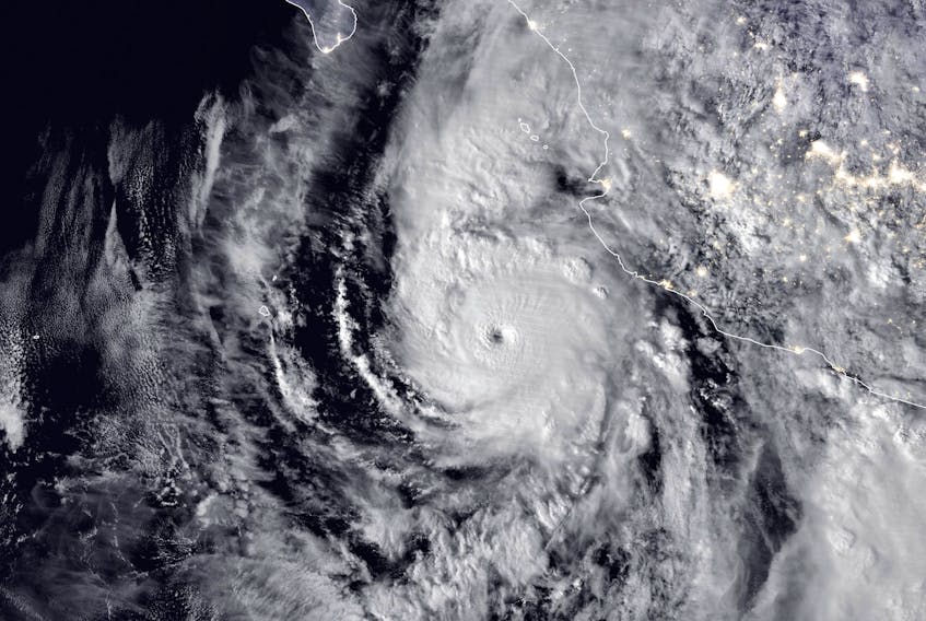
Remember Willa? On Monday, Willa was a Category 5 Pacific hurricane off the coast of Mexico. Willa quickly weakened after making landfall as a Category 3 on Tuesday. Energy – aka rain bands – have been travelling eastward across the southern states. As the remnants of Willa push off the coast and move back over water, what was once a Category 5 hurricane will become a Nor’easter and a snowstorm for parts of Ontario and Quebec this weekend.