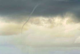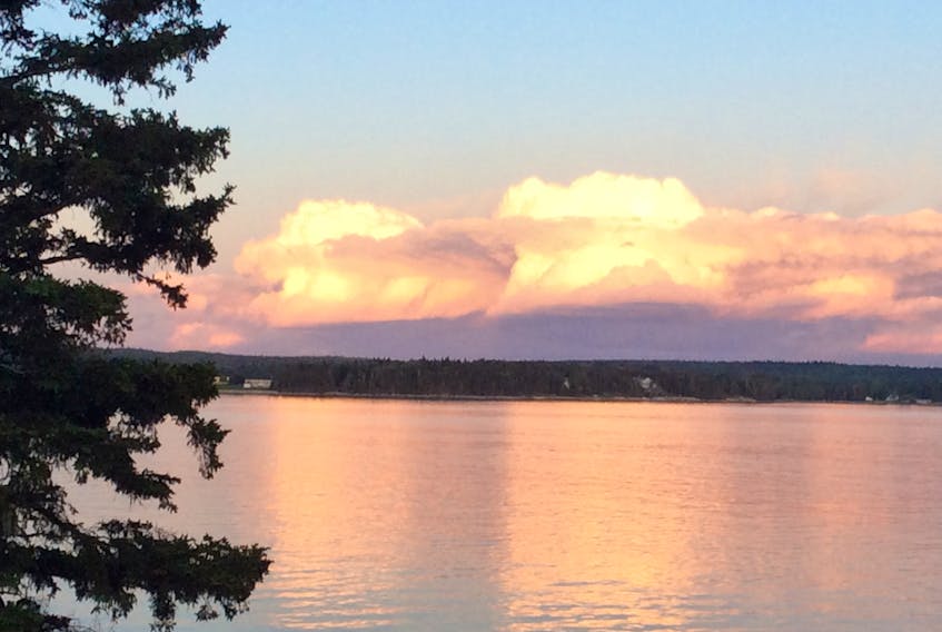
I have been talking about clouds a lot these days; they have been billowing so beautifully of late…
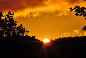
Last weekend, Paul Brodie spotted these golden towers on the horizon and snapped a few photos to share. In his email, he referred to them as “fire clouds.”
Fire clouds have been in the news lately and, sadly, are associated with the devastating wildfires out west.
Here’s why.
The scientific name is pyrocumulus. Pyro comes from the Greek word meaning fire.
Pyrocumulus clouds develop above a fire or volcanic eruption. Very high temperatures caused by fire create instability in the atmosphere; warm air is lighter than cold and the air rises. As the atmosphere gets colder, that warm air begins to cool. All of the water vapour in the air goes from a gas back into a liquid, which forms tiny water droplets and creates the cloud.
Unless another mechanism comes into play, these clouds pose no threat and could benefit the wildfire by eventually producing showers. However, if the conditions are just right, the pyrocumulus can produce lightning. In that case, the cloud becomes a flammagenitus – a type of cumulonimbus or thundercloud – and is not welcome in a forest fire situation.
The lovely clouds that Paul photographed last Saturday evening are cumulus congestus or towering cumulus clouds. These clouds begin as innocent little cumulus clouds but grow vigorously into rising towers. Their bases are flat and dark and their tops can look like mushrooms or cauliflower. These clouds are often to blame for those late afternoon summer showers that chase you inside.
- Read more Weather University columns.
- Have a weather question, photo or drawing to share with Cindy Day? Email [email protected]
Cindy Day is the chief meteorologist for SaltWire Network.