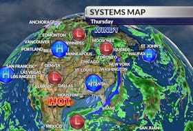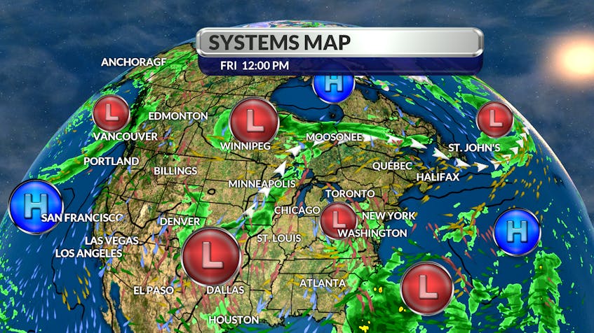
It's all about the jet stream these days.
That imaginary highway in the sky along which systems travel is slowly sinking southward. Most of Newfoundland and Labrador is on the other side now and there it's 10 degrees cooler than it was yesterday.

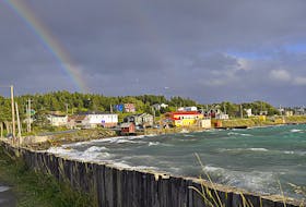
That cooler air mass is expected to filter down across Prince Edward Island and Cape Breton Friday night and just like that, you’ll be reaching for a light jacket. South of the frontal boundary, the heatwave continues and heat warnings remain in effect. There will be some relief from the extreme heat by Sunday, but I don’t see any immediate relief from the very dry conditions.
We can expect warmer than normal temperatures again next week with afternoon highs returning to the mid and upper 20s as far north as southern Labrador.
As for the much-needed rain, it looks like we’ll have to wait until midweek before we get anything of any significance.

- Want more weather information? Visit your weather page.
- Have a weather question, photo or drawing to share with Cindy Day? Email [email protected]
Cindy Day is the chief meteorologist for SaltWire Network