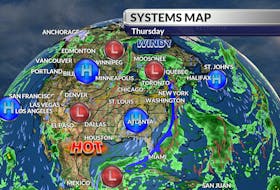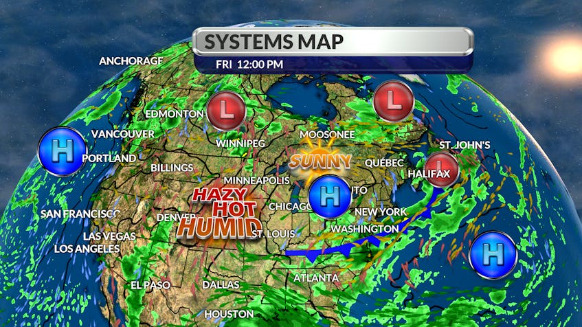
For a few weeks now, the organized areas of rain have been tracking well north of our region, along an unusually high jet stream. That imaginary highway in the sky has been slowly sinking southward across Eastern Canada and is now a little more zonal – tracking in a west-to-east line.

Over the next week or so, weather systems will move along the line in fairly rapid succession; each system will bring 10 to 20 mm of rain, followed by a mix of sun, clouds and seasonal temperatures. I know that some of you love a good thunderstorm and it looks like the next few systems will get some energy from the jet stream and could trigger isolated storm cells.
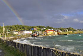
If you’re going to admire nature’s light show, remember to please do so safely. The primary safety rule for dealing with thunderstorms is to be in a well-built structure, away from windows; this will protect you from hail and powerful wind gusts. If you are caught outside, find shelter immediately. Be safe and have a great weekend.

- Want more weather information? Visit your weather page.
- Have a weather question, photo or drawing to share with Cindy Day? Email [email protected]
Cindy Day is the chief meteorologist for SaltWire Network