We’re going to wrap up the work week under a lovely ridge of high pressure.
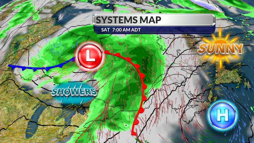
Sunshine and a fresh north wind will combine to give us a stunning day Friday. Things do get a little complicated after that but don’t cancel your outdoor plans. The timing on an approaching frontal wave is quite good. As the warm front nears, showers will develop from west to east – but not until the end of the day Saturday with most of the wet weather coming overnight into the early hours of Sunday morning.
We’ll be between the fronts on Sunday with some sun and a little more heat. The trailing cold front will make its move on Monday. Since cold fronts are not very active early in the day, I don’t expect much more than a few afternoon showers. As the front crosses the region, the warm southwesterly breeze will shift to the north and pull in cooler than normal temperatures for a couple of days.

- Want more weather information? Visit your weather page.
- Have a weather question, photo or drawing to share with Cindy Day? Email [email protected]
Cindy Day is the chief meteorologist for SaltWire Network.