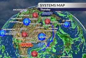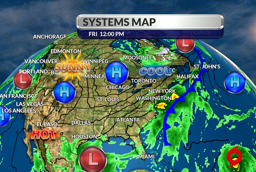
Hurricane Paulette was interesting to watch but didn't bring us any weather as it tracked 600 km south of Cape Race, N.L. Now, I’m watching Sally and how the remnants of that storm are beginning to interact with a cold front that’s crossing our region today.
A wind shift to the north and a drop in temperature comes quite quickly in the wake of the front, but that front will slow down as it reaches central Newfoundland. There, several hours of heavy, tropical-like waves could dump as much as 70 to 90 mm of rain over central regions of the island. The wind will also be significant – from the south with gusts to 70 km/h Saturday morning. Once the front pushes east of the Avalon, everyone will enjoy a fair but cool, September weekend.

The next system has the potential to be a little more interesting. Hurricane Teddy intensified to a major Category 3 hurricane on Thursday; further intensification is possible over the next 12 hours. Computers models are not all in agreement, but it does look like the storm will enter Canadian water early Tuesday. It's too soon to talk about landfall or totals, but it's never too soon to be prepared.

- Want more weather information? Visit your weather page.
- Have a weather question, photo or drawing to share with Cindy Day? Email [email protected]
Cindy Day is the chief meteorologist for SaltWire Network