SUMMERSIDE
It might be a good idea to stock up on essentials for Tuesday suggests Charlottetown-based Environment Canada meteorologist Linda Libby.
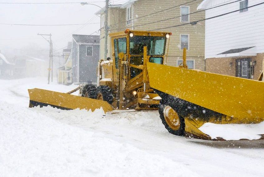
A nor’easter that rolls into Prince Edward Island from Nova Scotia after midnight is not expected to result in periods of heavy snowfall, but with the snow persisting for 12 to 18 hours and blown around by strong wind gusts, Libby said reduced visibility could result throughout the day Tuesday.
The Summerside area could receive up to 15 cm of snow during the day, and another two to four cm Tuesday evening.
“It’s one of those days (when) it is close enough or worse enough that, maybe, this is the day you make sure you have stuff in the house, in case,” she said.
“You’re not going to be stuck there for days, but you may not be able to go out for that last-minute trip if you realize you’re out of milk,” she said. “Have the things you absolutely need until Wednesday morning.”
Halifax-based meteorologist Cindy Day tweeted Monday that this storm system is a nor’easter so wind will be a factor.
The temperature is expected to hold around minus five or six degrees, Libby said pointing out the drier type of snow that produces will blow around quite easily.
“We’re looking at reduced visibilities, not bad enough for blizzard conditions,” she said.
In eastern P.E.I. snowfall could start around 1 or 2 p.m. Tuesday, closer to 3 or 4 a.m. in the Summerside area, and the western tip of the Island, which is expected to be spared the brunt of the storm, should see snow by 5 or 6 a.m.
Wind gusts in the 50 to 65 km/h range from the northeast are likely Tuesday morning, increasing to afternoon gusts to 75 and possibly even higher by evening before shifting to northwest and tapering as the system pulls away.
There are no major standouts in the forecast for the next week to 10 days, Libby said. “There’s a little bit of snow now and then, but it’s not that much. The winds pick up at times, but they’re not that strong.” And don’t expect any prolonged periods of mild or frigid temperatures during that period either.
“I don’t see anything that people have to change their plans for right now,” she offered.