Environnment Canada has issued a flash freeze warning covering all of Prince Edward Island for Saturday night.
The weather agency says temperatures are forecast to fall rapidly and ponding water, slush and any falling precipitation will freeze as the temperature drops.
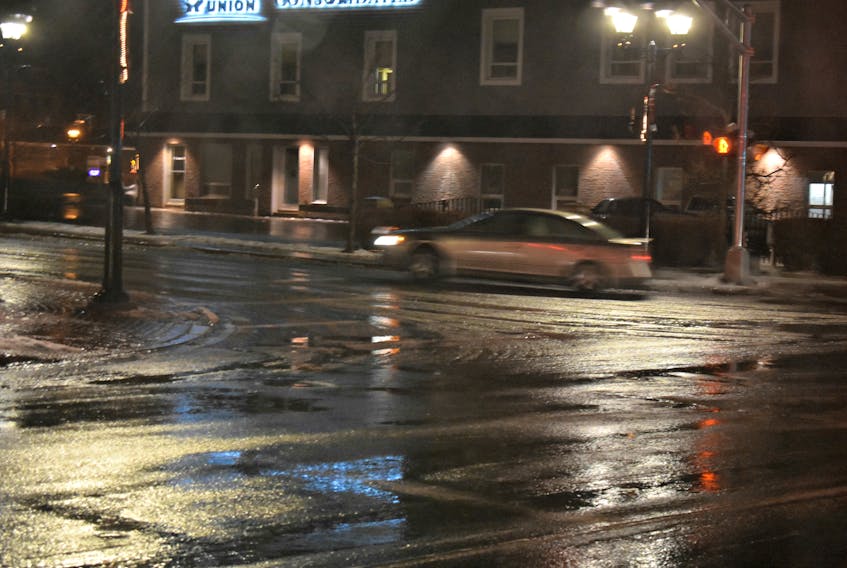
Temperatures will dip dramatically Saturday night in the wake of a cold front moving through the area, resulting in water freezing quickly, especially on untreated surfaces like highways, roads, walkways and parking lots.
Environment Canada urges extra care when walking or driving in affected areas.
Poll: What kind of winter do you prefer?
The warning may come as no surprise thanks to Friday’s record-setting temperature day for Prince Edward Island.
According to Environment Canada, Friday was officially the warmest Jan. 12 on record for the province.
At 1 p.m. the reading at the Charlottetown Airport weather station was 11.7 C, surpassing the previous record of 10.2 C set in 1983.
Weather records could be broken today as well with a projected high of 13 C. The previous high was 8.1 C in 2012.
To report severe weather, send an email to [email protected] or tweet reports using #PEStorm.